A Guide to Cacaluta Bay’s Mangroves and Wildlife
Cacaluta Bay lies within Huatulco National Park on Oaxaca’s Pacific coast, a protected landscape of coves, coral communities, tropical dry forest and coastal wetlands. Its mangrove habitat may look quiet from a boat or walking trail, yet it supports an intricate network of fish, birds, reptiles, shellfish and plants.
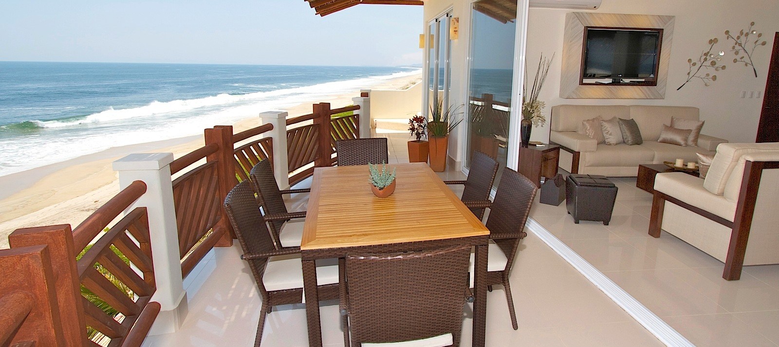
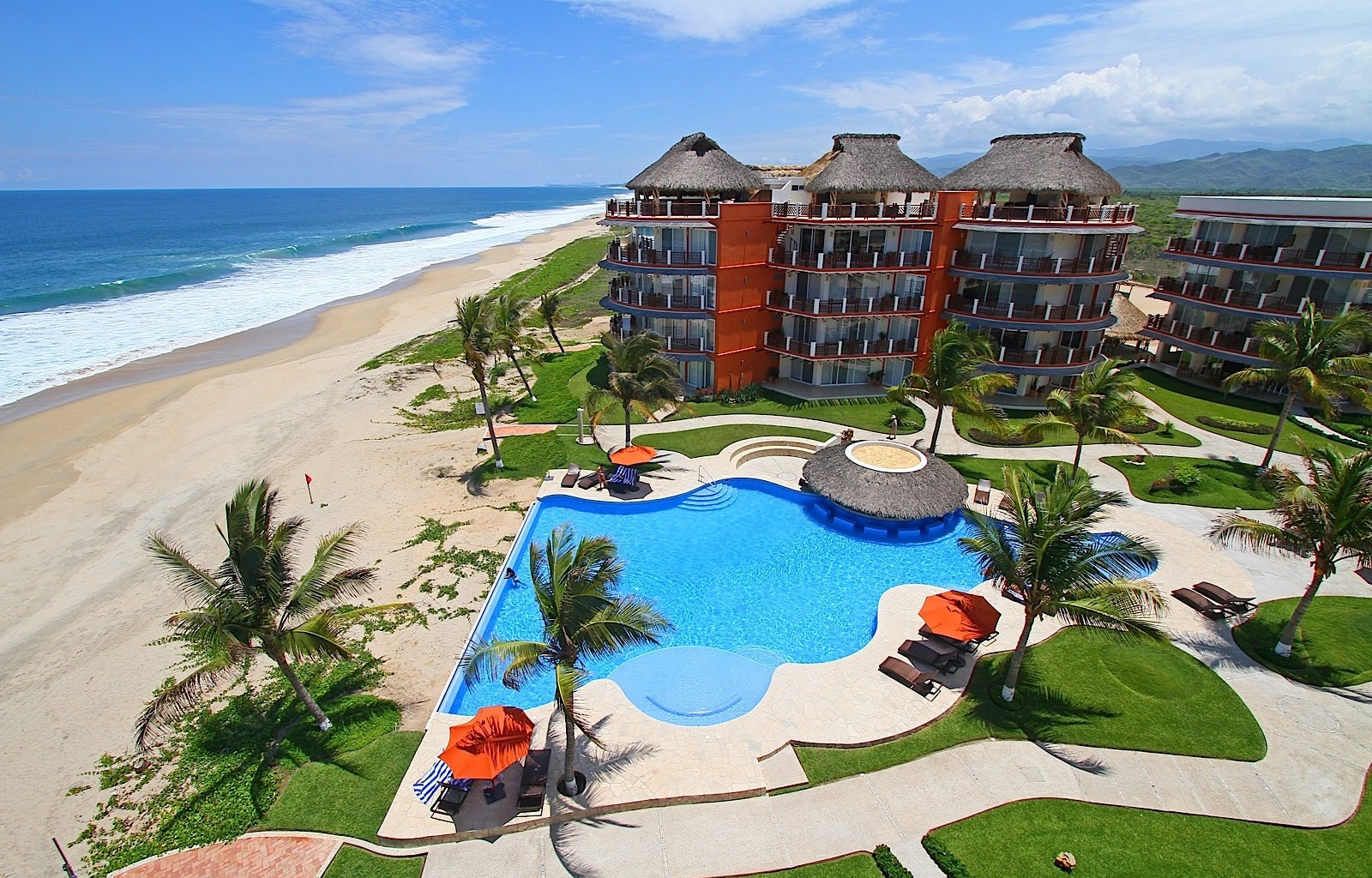
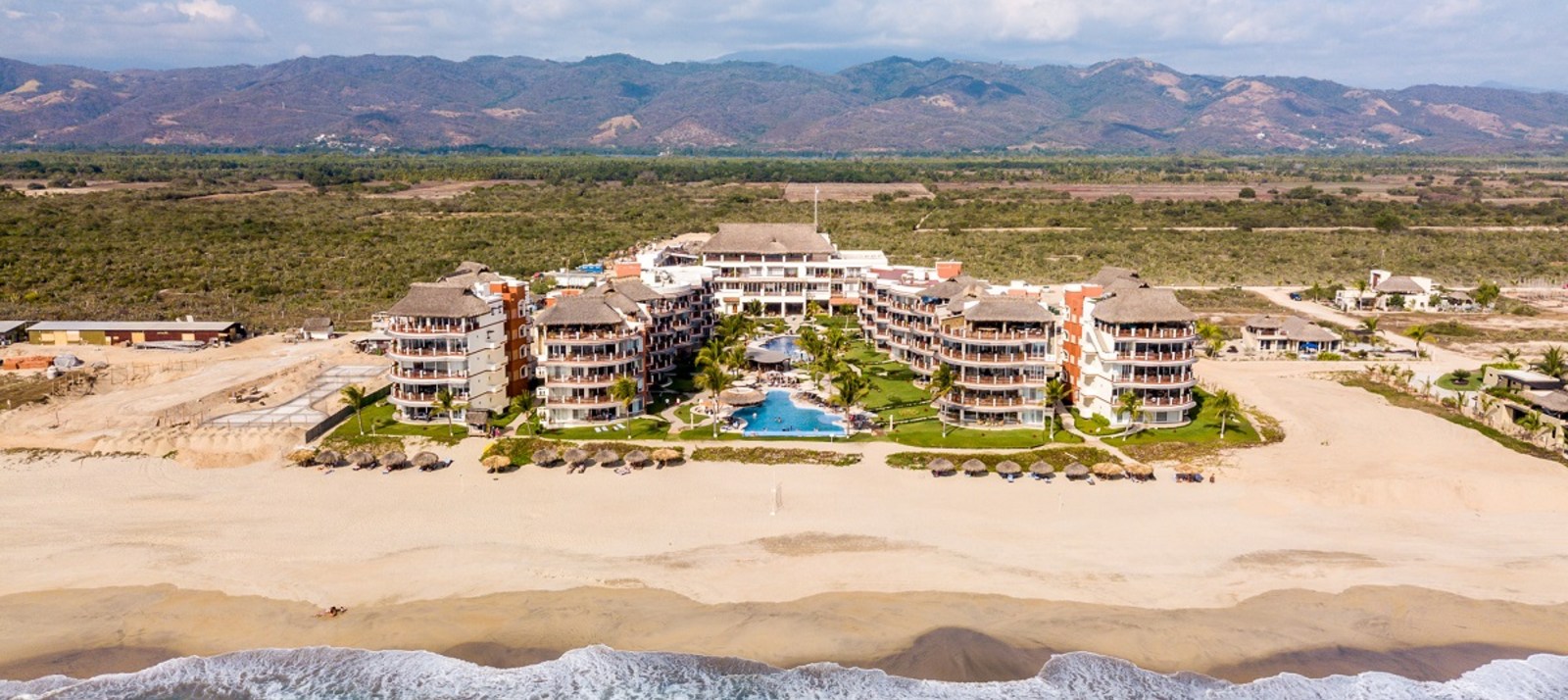
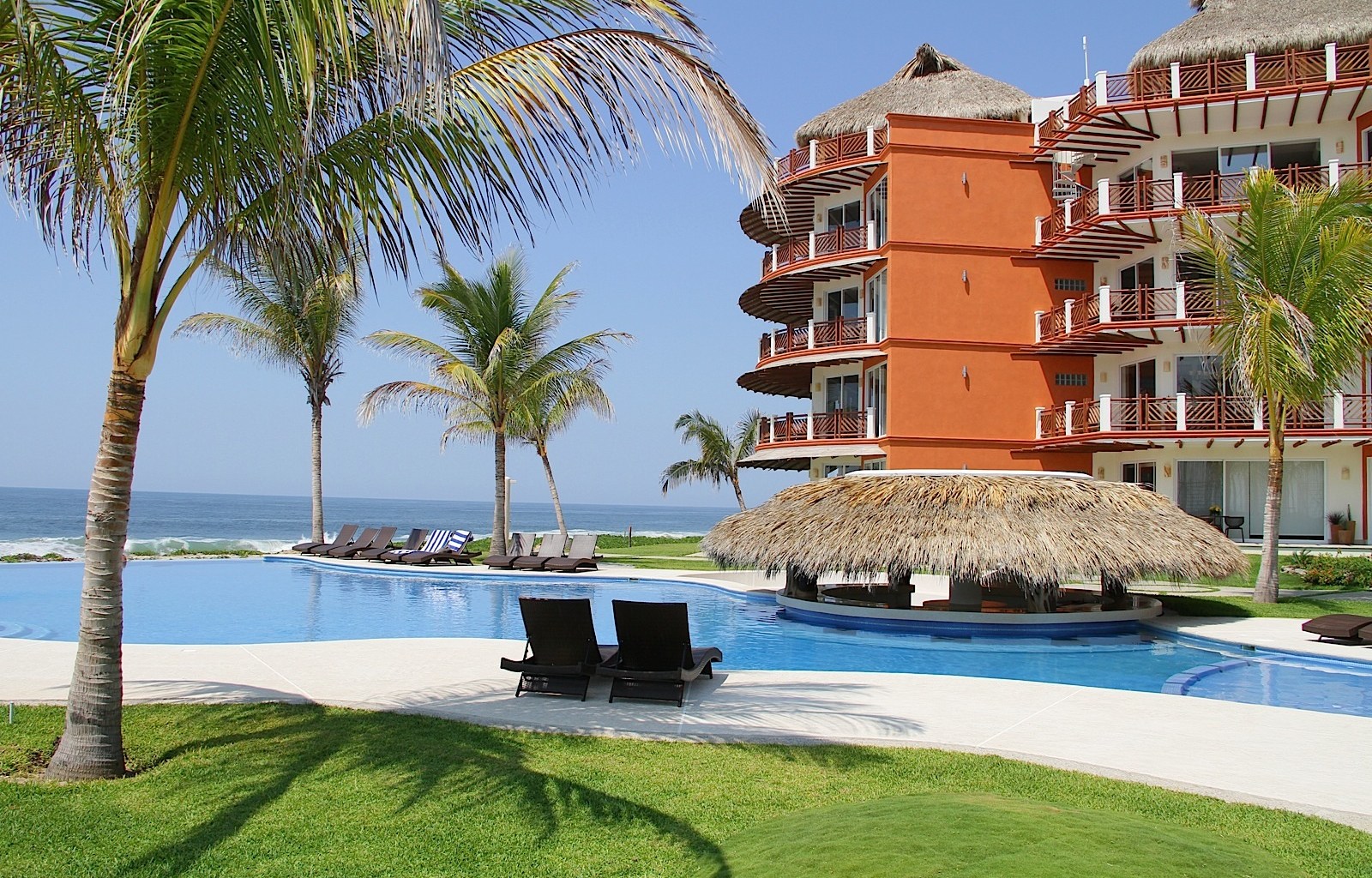
The bay sits near Santa Cruz Huatulco, within reach of the beaches and cultural attractions around Puerto Escondido. Travellers staying at Vivo Resorts can use the property as a relaxed beachfront base, then arrange a guided outing towards Huatulco’s protected coast. The journey is part of the experience, with rugged headlands, warm Pacific water and changing views of Oaxaca’s shoreline.
For Australian visitors, this is a very different kind of coastal environment from a Queensland mangrove boardwalk or a South Australian estuary. The heat can be intense, shade is limited, and an early start is often the smart move. Think reef-safe sunscreen, a broad-brimmed hat, closed walking shoes and plenty of water rather than a rushed arvo in the sun.
Where Cacaluta Bay Fits Along the Oaxaca Coast
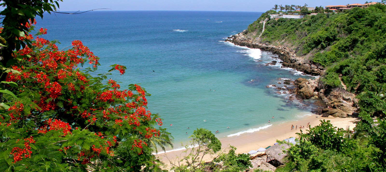
Cacaluta Bay is one of the striking natural areas in Huatulco National Park, a protected zone created to conserve land and sea habitats around the nine bays of Huatulco. The bay is recognisable for its open Pacific setting, forested slopes and island-like headlands. Cacaluta Island helps shape the seascape and offers shelter to parts of the coastline.
The mangroves occupy wetter, sheltered areas where saltwater and freshwater meet. Their roots stabilise soft sediment and create hiding places for juvenile fish, prawns and crabs. Beyond the wetland edge, tropical dry forest brings a different cast of plants and animals, so a short excursion can pass through several ecosystems.
Access conditions can vary according to weather, conservation rules and the chosen tour. A local naturalist is valuable because they can identify discreet channels, explain seasonal changes and keep visitors away from sensitive nesting or nursery areas.
How Mangroves Shape the Bay
Mangrove trees survive in salty, oxygen-poor mud through specialised roots and leaves. Some roots rise above the sediment to take in air, while tangled lower roots slow waves and trap organic matter. Fallen leaves become food for tiny organisms, beginning a chain that supports larger fish and wading birds.
These forests also act as a coastal buffer. They reduce erosion, hold sediment in place and soften the force of storm-driven water. In a region affected by tropical weather, that protection matters for beaches, lagoons and nearby communities.
The ecosystem is connected to the sea rather than isolated from it. Young fish can shelter among roots before moving to deeper water, while birds feed along the muddy margins as tides expose small pools. A quiet mangrove channel can therefore be a nursery, feeding ground and flood-control system at the same time.
Wildlife to Watch for in the Wetlands
Birdlife is usually the easiest wildlife to spot. Depending on the season and water level, visitors may see herons, egrets, kingfishers, frigatebirds, pelicans and other coastal species. Early morning brings the best light and often the most activity, before heat sends many animals into cover.
Crabs and small fish are central to the food web, while iguanas may bask on branches or rocks near the forest margin. Coatis, armadillos and other land animals are more likely to appear in the surrounding dry forest than deep inside the mangrove. Sightings are never guaranteed, which is part of the appeal of a protected habitat.
| Mangrove feature | Wildlife connection | What visitors may notice |
|---|---|---|
| Dense prop and breathing roots | Shelter for juvenile fish, prawns and crabs | Small movements in shallow water |
| Mudflats and tidal pools | Feeding areas for waders and shorebirds | Tracks, bird calls and probing bills |
| Forest edge | Habitat for iguanas, coatis and insects | Basking reptiles or rustling foliage |
| Open bay and rocky points | Passage for seabirds, rays and marine life | Pelicans, frigatebirds or distant dolphins |
Reading the Tides and Seasons
Tides change the appearance of a mangrove landscape. At low water, roots, mudflats and channels become visible, making animal tracks easier to interpret. At higher water, the forest can appear to float, and fish may move further among the roots. Guides can plan around these changes rather than treating the wetland as a fixed viewpoint.
The dry season generally offers clearer skies and more predictable road conditions, although the landscape may look browner beyond the wetland. The rainy season can make the forest greener and increase water movement, while storms may affect boat trips or access. Conditions should be checked locally before setting out.
Australian families travelling during Queensland, New South Wales or Victorian school holidays may find that Mexican peak periods overlap with their own preferred travel windows. Booking transport and guided excursions early is sensible, particularly when combining Huatulco with a stay near Puerto Escondido. Resort packages can help organise the wider holiday around accommodation, dining and local activities.
Exploring Without Damaging the Habitat
Mangrove roots are easily broken, and compacted mud can disturb burrows and seedlings. Stay on established paths, boardwalks or boat routes, and avoid stepping into shallow root systems for a closer photograph. The best wildlife images usually come from patience, a zoom lens and a low voice.
Do not feed birds, reptiles or mammals. Food changes animal behaviour and can draw wildlife towards people, roads or busy beaches. Keep rubbish secured, take plastic back with you and avoid collecting shells, driftwood, plants or other natural material.
Boats should move slowly through narrow channels and keep a respectful distance from animals. Kayaking can be peaceful where it is permitted, but access is not automatically allowed in every protected section. Local operators understand current restrictions and can explain why certain areas are closed.
Making the Visit Comfortable
Lightweight clothing, a hat, sunglasses and high-factor sunscreen are practical essentials. Long sleeves can provide better protection than repeatedly applying sunscreen, while insect repellent is useful around still water. Sturdy sandals may suit a beach, but closed shoes are safer on uneven trails and muddy ground.
Carry a refillable bottle and a small dry bag for phones and cameras. Mobile coverage may be inconsistent, and facilities near remote access points can be basic. Visitors accustomed to Australia’s well-marked national park facilities should expect a more informal experience in some parts of coastal Oaxaca.
Allow time for the return journey rather than scheduling a flight or restaurant reservation too closely. Heat, road conditions and boat transfers can all add delays. At the resort, practical services can make a longer stay easier; this laundry and valet guide is useful when planning what to pack for an active coastal holiday.
Why the Mangroves Matter Beyond Sightseeing
Cacaluta Bay demonstrates how a healthy coast depends on links between forest, wetland, reef and open ocean. Mangroves shelter young marine life, protect shorelines and provide feeding grounds for birds. Their value cannot be measured only by the animals visible during a single tour.
Visitors contribute most when they travel lightly and support knowledgeable local operators. A guided visit can turn an attractive landscape into a clearer understanding of tides, plant adaptations and the pressures facing protected coastlines.
The bay is worth remembering as a living system rather than a scenic backdrop: tangled roots shelter nurseries, mudflats feed birds, and forested slopes protect the water’s edge. That connection between land and sea is what every traveller should carry away from Cacaluta.